


1945 Atlanta GmbH Map of Germany and Allied Occupation Zones After World War II
SKU: 1945 GMBH MAP
Original/Reproduction: Original
Availability: SOLD
Author: N/A
Publisher: Atlanta GmbH
Year Published: 1945
Condition: Very Good
Price: $300.00
Seller Type: WW2C
Seller ID: KC
Return Policy: No Returns on this product.
Description
The map delineates the Allied occupation zones in Germany as established by the Potsdam Conference of July-August, 1945. The Russian zone is pink, the American blue, the English purple, and the French red-white-blue. To the east Poland is colored with pink stripes, reflecting its status as a nominally independent country under Soviet control.
The map was published in 1945 by Atlanta GmbH, a “Company for international advertising for industry, export and traffic” operating in Frankfurt. The reality of military occupation is highlighted by a note in the lower-left margin, according to which the map was “designed and distributed with approval of the military government”. Legally, at least, the occupation lasted until 1949, when in May the three western zones were merged to form the Federal Republic of Germany, and in October the Soviet zone was constituted as the German Democratic Republic.
This example of the map is particularly interesting for being printed on the back of a 1933 German-language map of the Ardennes commune of Francheval. Such uses of necessity paper are occasionally seen on maps printed during the war years, tangible evidence of the prevalent shortages of consumer goods due to the redirection of production toward military supplies as well as the outright destruction of productive capacity.
History
After World War II, Germany was divided into four occupation zones, each controlled by one of the four main Allied powers: the United States, the Soviet Union, the United Kingdom, and France. These zones were established to facilitate the occupation, reconstruction, and administration of Germany after its surrender in 1945.
Here’s a brief overview of the occupation zones:
- American Zone: Consisted of the southern and western parts of Germany, including Bavaria and parts of Hesse. Major cities in this zone included Frankfurt and Munich.
- Soviet Zone: Encompassed northeastern Germany, including Berlin, the capital. The Soviet Union had the most influence in this zone.
- British Zone: Covered the northwest part of Germany, including cities like Hamburg and Bremen.
- French Zone: Located in southwestern Germany, including parts of Baden-Württemberg and the Saarland region.
The division of Germany into these zones was a pivotal moment in shaping the post-war era and laid the groundwork for the subsequent Cold War tensions between the Western Allies and the Soviet Union. Eventually, these zones evolved into the foundation for the formation of East and West Germany, with East Germany falling under Soviet influence and West Germany aligning with the Western Allies.
Be the first to review “1945 Atlanta GmbH Map of Germany and Allied Occupation Zones After World War II (Original)”
You must be logged in to post a review.
Related products

WW2 Collectibles
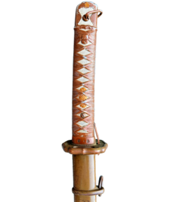
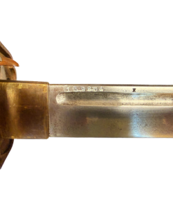
WWII Japanese Type 30 Arisaka Hooked Quillon Bayonet With Scabbard & Frog (Original)
WW2 Collectibles


WW2 Collectibles
WW2 Original German Third Reich “Adolf Hitler” Silver Spoon Set
WW2 Collectibles
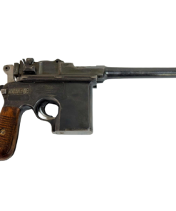
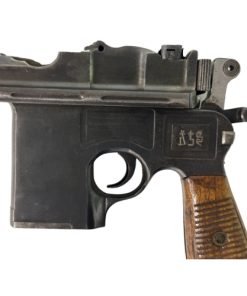
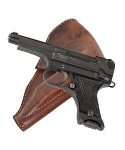
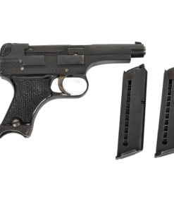
WW2 Imperial Japanese Type 94 Nambu Pistol with 2 Magazines and Holster Rig (Original)
WW2 Collectibles
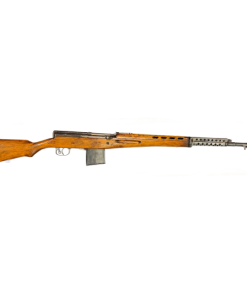
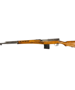
WW2 Finnish SVT40 Soviet Russian Capture Semi Auto Rifle (Original)


Reviews
There are no reviews yet.